
Precision Agriculture
Precision Agriculture
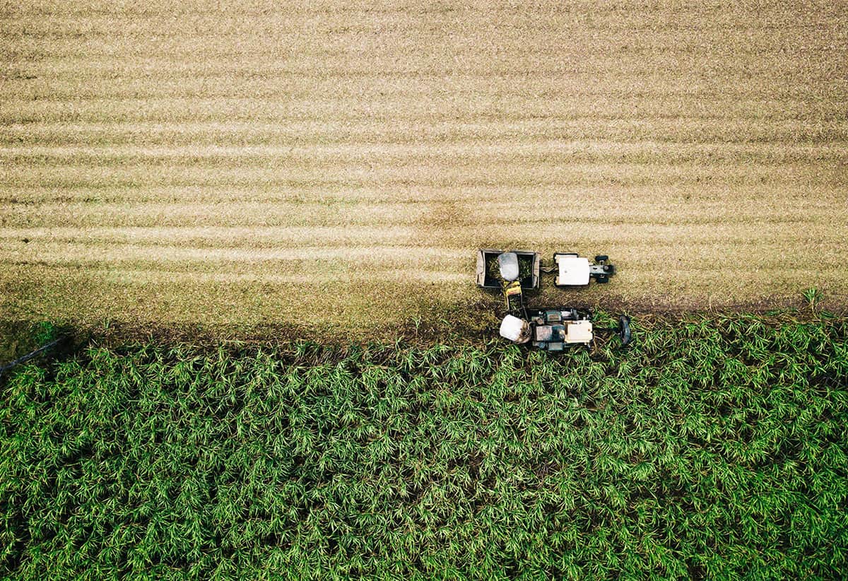
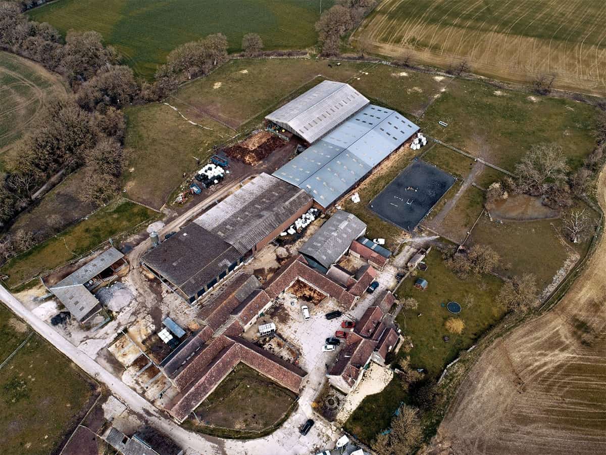
Drone My Business’s mission is simple, to make drone data accessible to everyone, everywhere. Our drone platforms provide immediate access to aerial site intelligence that is safer, faster, and less costly than any other method of assessment. As a consequence, many growers, agronomists, and agriculture professionals use drones for farm centred solutions to create data-rich maps of their farms and fields.
At Drone My Business, we use drone software and aerial drone photography to enable agriculture professionals to become more efficient in the field, make more informed crop management decisions, and better understand product performance. To detect crop health issues in real-time, accurately assess losses after a significant weather event, and even generate variable rate prescriptions that can save serious cash with more targeted fertilizer applications.
At Drone My Business we use one of the best professional software solutions, Drone Deploy, to offer a complete end-to-end system of record to increase workflow efficiencies as you scale your drone program.
Contact us today to examine:


For more information, please contact us with your requirements.
get in touch
For all enquiries please fill information below and send a short message outlining your requirements and we will get straight back to you.
Contact Details
Please leave a short message using the form of your requirements or alternatively you can call or email us.
Phone Number
07880 701342
Office Location
Durrington, Amesbury, Wiltshire, SP4 8DF